Short on time but want forest and beach? The Tentsmuir forest walk is a 16 km (10 mi) anticlockwise circuit taking 4-4.5 hours, and the main car park and sands sit on the route.
For wider background on walking in Scotland, see Scotland outdoor access rights. The sections below deal with the problems walkers meet most often here: judging distance and time, finding the start, coping with the surfaces, timing the tide, and spotting wildlife.
Judging the distance and time
The full circuit is 16 km (10 mi) with about 30 m of ascent, and a typical walking time of 4-4.5 hours, according to the published Tentsmuir route description. That ascent figure is small, so the effort comes from distance and soft sand rather than hills. Treat it as a half-day outing and carry food and water accordingly.
The same description walks the loop anticlockwise, in this order:
- Start at Morton Lochs and head for Fetterdale.
- Continue through Tentsmuir Forest.
- Reach the main car park and sands.
- Follow the beach to Tentsmuir Point.
- Turn back along the shore to Lundin Bridge.
- Pass through Scotscraig Golf Club.
- Return to Morton Lochs.
Walkers who only want the Tentsmuir Point walk can shorten the day. Because the main car park and sands comes on the route just before the point, starting there avoids most of the forest approach. The route description does not break the circuit into separate distances for each leg, so judge a shorter option by how much of the 4-4.5 hours you want to spend.
Finding the start and the car park
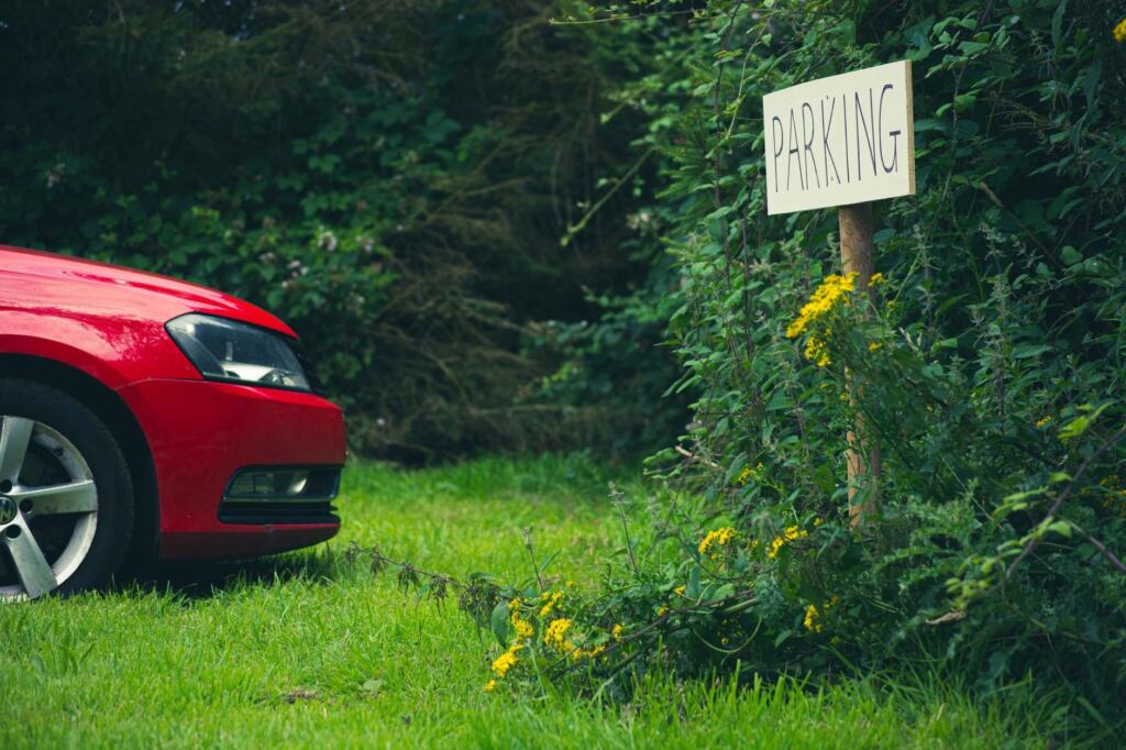
The circuit starts and finishes at Morton Lochs, off the B945, 2 mi south of Tayport. The route description gives this as the base, so a sat-nav search for Morton Lochs is the simplest way to reach the Tentsmuir car park end of the loop. The main car park and sands is a separate waypoint further along the route.
Choose between the two on the day. Start at Morton Lochs if you want the whole forest-and-beach circuit and a finish where you began. Use the main car park if the beach and point are the goal. Check the notices at whichever car park you use for any charge before leaving the vehicle.
Terrain and underfoot conditions
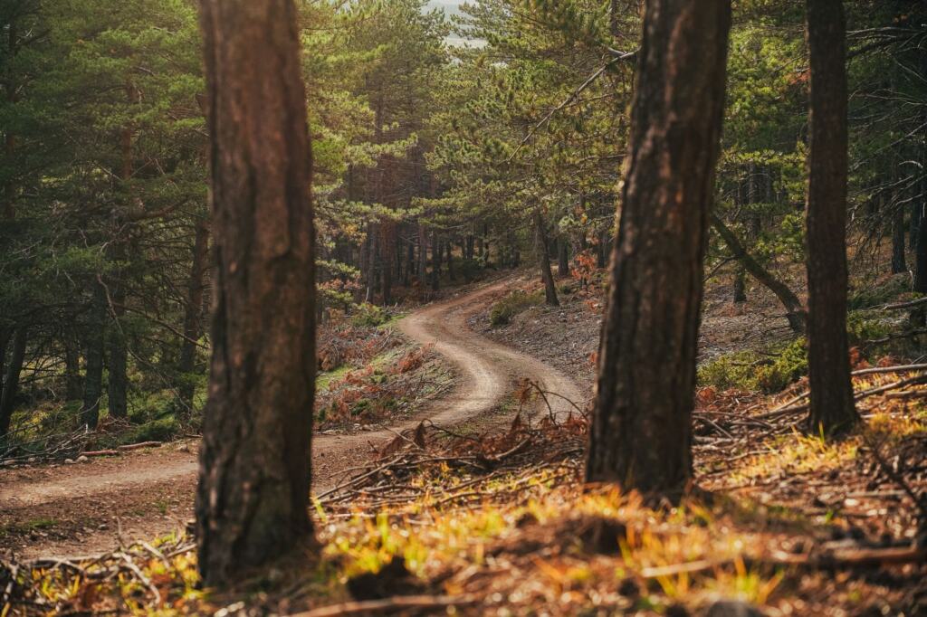
The walk is rated moderate, and the surfaces change several times. Forest tracks are good, the beach is sand, and the return is partly on roads. The table below sets out each stretch, based on the route description, so you can decide where to be careful.
| Stretch | Surface | Likely snag and fix |
|---|---|---|
| Start to Fetterdale and into the forest | Good forest tracks, with a short muddy section along the north side of the houses at Fetterdale | Mud is short but real, so wear footwear that copes with it rather than light trainers. |
| Forest to the main car park and sands | Good forest tracks to the beach | Easy going, so a good place to save energy for the sand ahead. |
| Sands to Tentsmuir Point | Sandy beach | Tide covers the sand, so read the next section before setting off. |
| Point to Lundin Bridge | Good path and track | A firmer surface after the beach. |
| Lundin Bridge to the start | Residential street and tarmac road through the golf club, then a track | Hard surface for tired feet, so follow the road until it becomes a track again. |
Surface details are from the published Tentsmuir circuit description.
Tides and reaching the point
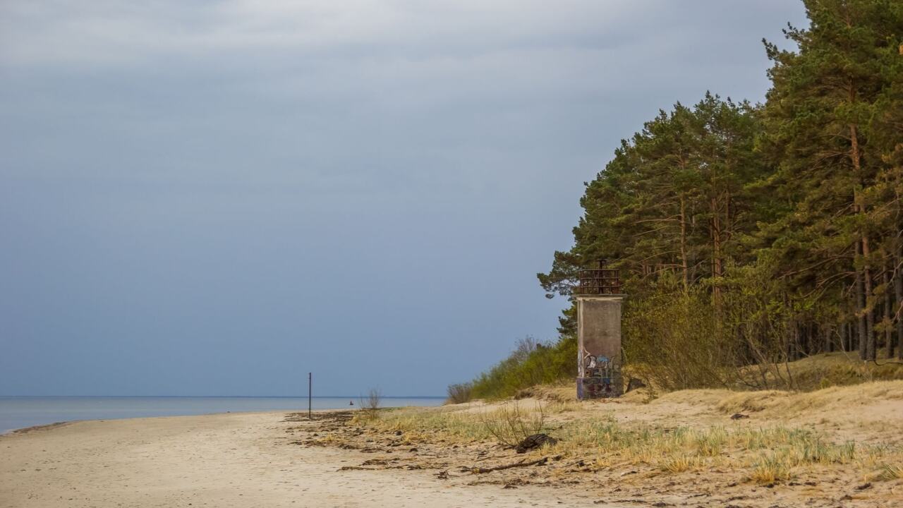
The beach is a wide swathe of golden sand that is subject to tides. The route description advises timing the walk to reach Tentsmuir Point around low water, and watching the tide if you wander far from the shore. Check a tide table for the day and work back from low water to set your start time.
Low water matters for more than safety. Seals favour the outer reaches, which are easiest to see when the sands are exposed, and the view from the point stretches across the Firth of Tay to Angus. If the tide is high, shorten the beach section or save it for another day rather than pushing on with little dry sand.
The route description places the whole area within Tentsmuir National Nature Reserve, covering forest, sands, seals and Morton Lochs. Walkers who like this blend of habitats can compare it with other nature reserves in Fife.
Red squirrels and seals
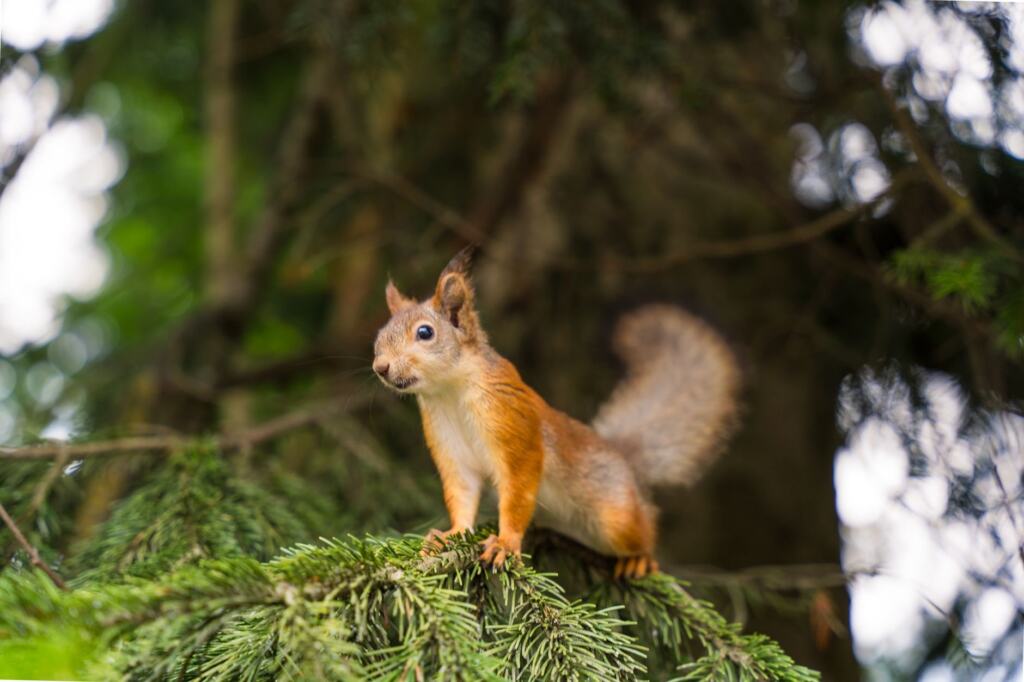
Walkers can see both, but neither is guaranteed. The route description reports a good chance of spotting red squirrels in the 50 square miles of forest, so Tentsmuir red squirrels are most likely along the forest tracks, where the pines give them cover. Walk quietly and scan the branches as well as the ground.
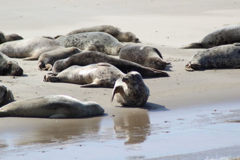
Seals belong to the beach end of the walk. The outer reaches off the point are frequented by both common and grey seals, so a pair of binoculars helps from the shore without needing to walk out across the sand. Time your arrival around low water, as above, and keep your distance from any animals resting on the sand.
Fife’s wildlife extends beyond forest and shore. Readers curious about another headline species in the region can read about beavers in Fife.
Frequently asked questions
| Question | Answer |
|---|---|
| How hard is the Tentsmuir circuit? | It is rated moderate, with good forest tracks to the beach. Total ascent is only about 30 m, so the challenge is the distance and the sand. |
| Is there a grid reference for the start? | Yes. The start at Morton Lochs is NO 465264 on the Ordnance Survey grid, or 56.426368, -2.869404 as GPS coordinates. |
| What else can I see near the start? | Each winter hundreds of teal and other ducks gather at Morton Lochs. Mallards, pochard, little grebe and mute swans are also recorded there. |
| Is Tentsmuir Point fixed in shape? | No. It is expanding at up to 5 metres each year, and the route description calls it the fastest-growing point in Scotland. |