Walking routes in Fife fall into three practical groups: short circular loops for a first outing, hill walks where the climb sets the effort, and the fife coastal path, a long-distance trail that most walkers will want to tackle in sections.
Say you have a free afternoon and have never walked in Fife before. Start with a short circular loop. Culross Heritage Walk takes 1-2 hours and North Queensferry coastal circuit takes about 2 hours, and both return to where they began, so there is no return leg to plan. Once that goes well, a hill or a longer coastal day becomes a sensible next step, and the full coast path can wait until you know how you walk on rougher ground.
Choosing a route by goal
Fife mixes wooded dens, hill summits and a long shoreline within a short drive, so the first decision is what you want from the day. The order below runs from the lowest commitment to the highest. Find the stage that matches your experience, then move up only when the earlier routes feel comfortable.
- Short circular outings. A loop that returns to its start removes any need to plan a way back. That makes it the sensible first choice for beginners, for families, and for anyone testing their fitness on paths they do not know.
- Coastal day walks. Shoreline routes add tide times to your planning and sometimes mean retracing your steps. Choose them once you are comfortable reading a map and a timetable, and once you accept that the coast can change between high and low water.
- Hill walks for views. The Lomond Hills offer the clearest reward for effort. Judge the climb by ascent and time rather than distance alone, because a short hill with a steep climb can be harder than a longer flat walk.
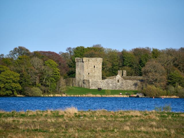
- Inland and themed routes. Loch Leven, Falkland, Cupar and the pilgrim route suit walkers who want a particular place or story rather than a particular grade of walk.
- The long trail. The Fife Coastal Path from Kincardine to Newburgh works best when you split it into day-sized sections and choose each one to match your fitness and the season.
The sections below follow the same logic. Wherever a source supplies time, distance or ascent, it is given next to the route type, because the route type decides how much you are committed to once you start. A loop must be finished. An out-and-back route can be cut short at any point.
Short circular walks for beginners
The best Fife walks for beginners are the short circular routes: the Culross Heritage Walk, Maspie Den and the North Queensferry coastal circuit. Each returns to its start, and the listed times are a few hours at most. A circular walk suits a first visit to a new area because you never have to wonder whether you have walked too far to get back comfortably.
Culross Heritage Walk
This is the shortest circular route in the comparison below, at 4km / 3 miles and 1-2 hours. It is the easiest walk to fit around other plans and the one to pick when time is tight, or when you want to test your boots and pace before committing to anything longer. Because it is a loop, you have no decision to make about when to turn round.
Maspie Den
Maspie Den covers the same listed distance as Culross, 4km / 3 miles, but its listed time is longer at 2-3 hours. The difference is a reminder that time reflects more than distance. Allow the full time rather than the lower figure, and treat it as the next step for walkers who found the shorter loop comfortable. Planning is as simple as for Culross because the route is circular.
North Queensferry coastal circuit
Anyone asking whether there are circular walks near the Fife coast should start here. The North Queensferry circuit is 5km / 3 miles and takes about 2 hours. It combines a coastal setting with a loop that finishes where it began, so you get shoreline views without retracing your steps. It is a good test of whether you enjoy coast walking before you try a section of the long trail, which is a much bigger commitment in both distance and planning.
Craighall den ceres
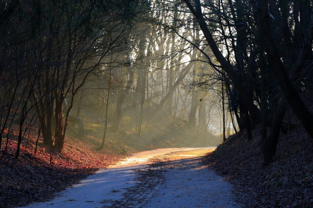
A wooded den is a useful contrast to coast and hill. For a short walk under trees, the craighall den ceres guide covers that route in detail. Choose a den when your aim is an easy, varied outing with no exposed summit or shoreline to think about, and when you would rather spend the day looking at trees and paths than at the weather over the water.
Day walks compared
Walks in this guide make a useful shortlist because they cover circular loops, out-and-back coast walks and one hill climb. Compare the time and the route type before anything else, since those two figures decide how much planning each walk needs and how easily you can change your mind on the day.
| Walk | Distance | Typical time | Route type | Planning use |
|---|---|---|---|---|
| Culross Heritage Walk | 4km / 3 miles | 1-2 hours | Circular | Shortest listed outing; a good first walk |
| Maspie Den | 4km / 3 miles | 2-3 hours | Circular | Same distance as Culross, so allow the longer time |
| North Queensferry coastal circuit | 5km / 3 miles | 2 hours | Circular | Coastal loop with no retracing of steps |
| St Andrews coastline walk | 5km / 3 miles | 2-3 hours | Out and back | Easy to shorten by turning back early |
| East Lomond | 7km / 4 miles | 3-4 hours | Circular | Steep climb; chosen for the summit views |
| East Neuk Coastal Walk | 17km / 10 miles | 3-5 hours | Out and back | Longest day walk listed; moderately easy trail |
The distances, times and route types in this table come from Wander Somewhere’s list of Fife walks, which is a travel blog rather than an official body, so treat the times as a planning guide and allow extra if the weather is poor.
Read the route type as carefully as the distance. An out-and-back walk lets you turn round whenever the weather, the light or your energy says so, which makes it forgiving for a first outing on an unfamiliar coast. A circular walk commits you to the whole loop, but it removes the question of how to get back. The East Neuk Coastal Walk is described as a moderately easy trail, yet at 17km its length makes it a full day, so it suits walkers who have already completed the shorter coast walks in this list.
Fife Coastal Path: length and how many days it takes
The Fife Coastal Path is a long-distance walking trail of around 117 miles (188km). It starts in Kincardine in West Fife and ends in Newburgh in North Fife, according to the Fife Coast and Countryside Trust, which is the reference to use for planning. Guidebooks and tour operators give slightly different totals. One tour operator’s guide puts the route at 187km (116 miles), running from the Firth of Forth in the south to the Firth of Tay in the north. The gap is small, but it is a reason to check the Trust’s section figures before you book transport or accommodation.
Length in miles and kilometres
Use 117 miles (188km) as the working figure for the whole trail, and treat 187km (116 miles) as a reasonable alternative from a second source. Both describe the same Kincardine-to-Newburgh route. Converting between units is simple, but what matters for planning is the number of days, and that depends on the sections you choose rather than on the total.
How many days it takes
A Fife walking blog gives around 10 days for the whole route, which it describes as 183km / 113 miles, as Wander Somewhere notes. That is a planning figure, not a target. Your own pace, the weather and the number of breaks will change the total. The Trust says each path section lists its distance and approximate time to complete, so the most reliable way to build an itinerary is to add up those section figures and then adjust for your own speed.
Walkers who want the trail in manageable pieces should work through the fife coastal path sections guide. Splitting the route this way also lets you match each day to the terrain, which varies more than the overall length suggests. Easy path can be followed by rockier ground on another stretch, so a fixed daily distance is a poor plan.
Terrain and who it suits
Much of the route is approachable, but not all of it is. A tour operator’s guide describes the path as mostly flat and straightforward, with occasional rugged sections along rocky beaches and clifftops. That combination means a walker with reasonable fitness and some hill experience can enjoy the flatter stretches, but should slow down on the rocky ground, where footing is less predictable than on a made path.
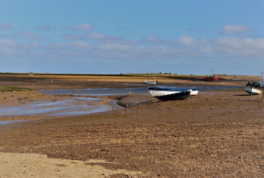
Season and tide change the picture. The first is season. The same guide gives summer temperatures of 16-19°C (61-66°F), which it calls pleasant, and winter temperatures of 2-6°C (36-43°F). It states that it is only recommended that very experienced hikers take on the route in winter. The second is tide. One section is only walkable at low tide, so you must check the tide times in advance, as Wander Somewhere advises. For a first coastal trip, a mild month and a section you can reach at a suitable tide are the simplest conditions to meet.
Following the waymarkers
The Trust’s direction on the route is short: get out there and follow the waymarkers. On the long trail that is often enough to stay on line, so a casual walker does not need to navigate every metre. That advice is for the trail itself, though. Sections you have not walked before, and any side route you take to reach a start point, are where a map earns its place, as the maps section below explains.
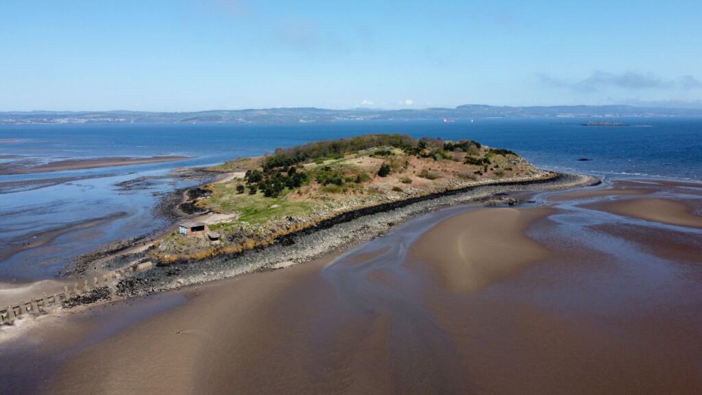
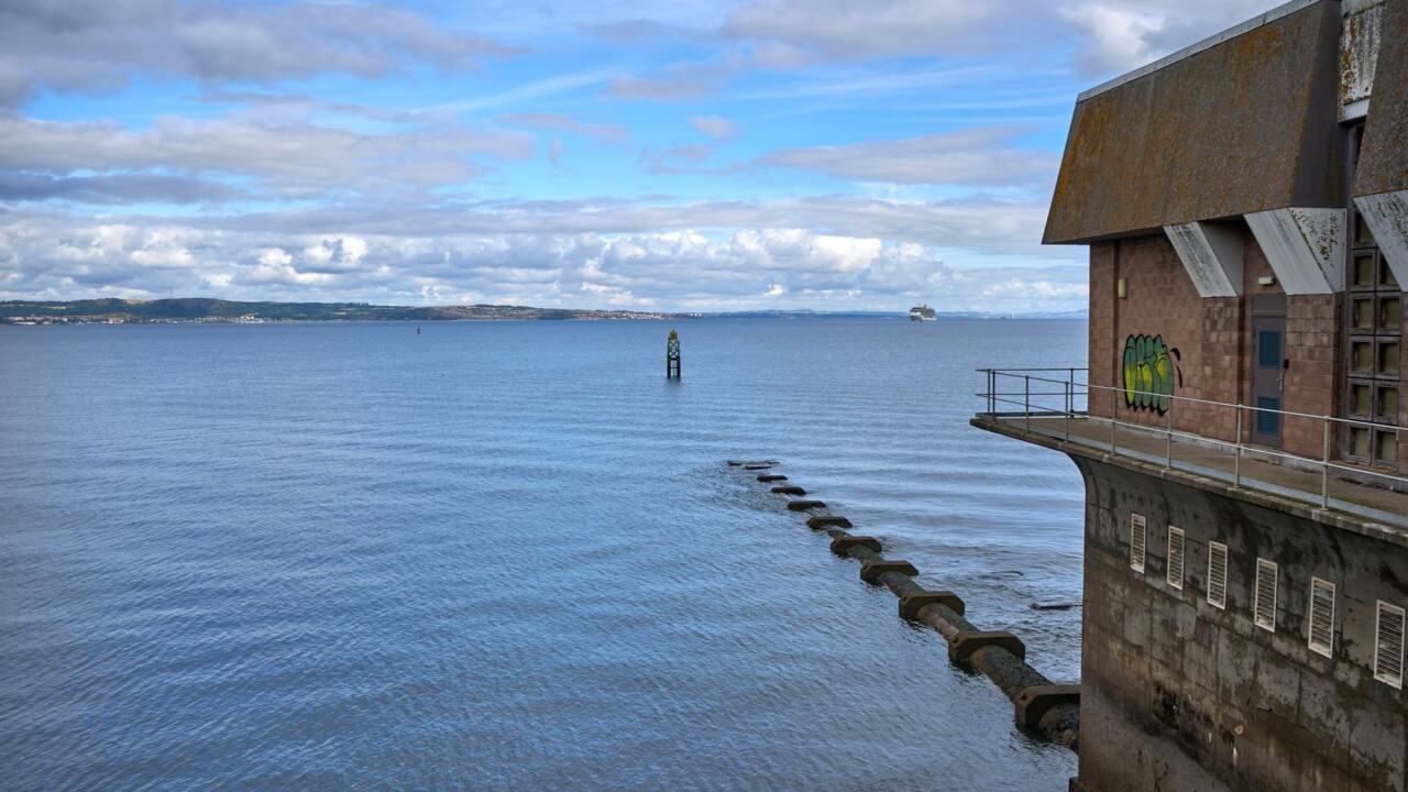
Where the trail runs close to the Firth of Forth, the open water is a large part of the appeal. Expect long views along the shore, and plan rest stops for the viewpoints you will want to stop at.
Hill walks and the best views
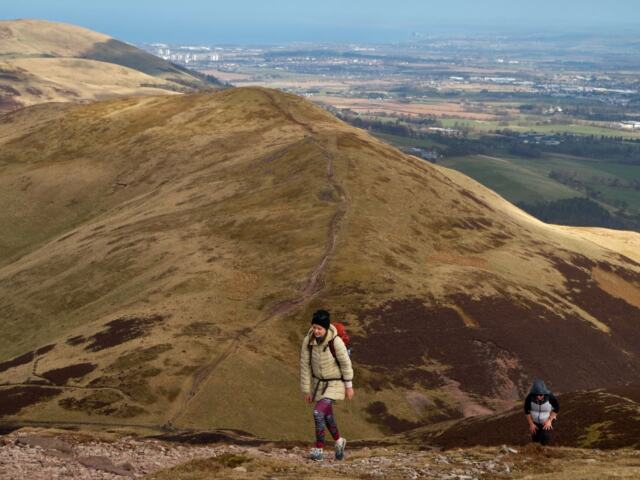
East Lomond has the best-known views among the hill walks on this site. It is one of Fife’s highest points, a 7km moderate hike up a steep, winding trail, and Wander Somewhere describes its summit as having incredible countryside views. The listed time is 3-4 hours on a circular route. That makes it a manageable first hill for anyone comfortable with the short circular walks above, but it is a step up in effort.
Reading ascent on hill routes
Fife Walking lists its hill routes as 4.5 to 8 miles, with ascent of 200m to 380m. Use the ascent figure to judge effort. A modest distance with a large climb will feel harder than its mileage suggests, and a long, gentle route can be easier than a short steep one. The same site lists Pitmedden Forest options of 8 miles, 5.7 miles or 4 miles, with ascent of 150m, 90m or 60m respectively. That is a useful spread for walkers who want a forest walk with a choice of effort on the day.
Altitude alone tells you less. The site lists Dunearn Hill at 223.6m, Orrock Hill at 205m and Baspard Hill at 197m among its summits. These are modest heights, so steepness and path conditions matter more than the height of the top. Wander Somewhere makes the same point about the steep route up the Lomond Hills, which it presents as the choice for walkers who enjoy a demanding climb.
Next steps among the hills
The lomond hills walks guide is the main starting point for the range. Walkers wanting a harder day should look at the hill walks in fife guide. If you prefer a single summit, the largo law walk, the dunbog hill walk and the lucklaw hill walk each have their own guide. Choose among them by the ascent and time you want, rather than by the name of the hill.
Loch Leven, Benarty and inland routes
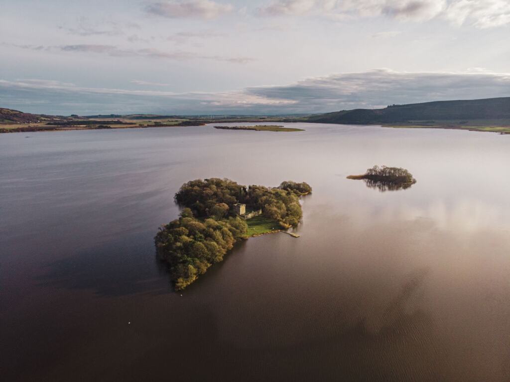
Inland Fife suits walkers who want a loch, a named heritage route or a hill with a different character from the Lomonds. If your interest is inland water rather than coast or summit, the loch leven heritage trail is the guide to read first. For a hill option, the benarty hill walk is the one to compare against the Lomond summits, using the same ascent and time checks.
For a themed route with a story to follow, the fife pilgrim way suits walkers who prefer a named route to a choice of loops. If you are staying in a town rather than on the coast, the falkland walks and cupar walks guides cover starting points that you can reach without a long drive to the coast. Plan these from a base, and check the approach on the map before you set out.
St Andrews and the north-east coast
The St Andrews coastline walk is an out-and-back route of 5km / 3 miles, taking 2-3 hours. Because it is out and back, you can shorten it by turning round at any point, which makes it a good choice for a visit to the town where the time available is uncertain. Its length is modest, so it works as a first coastal outing before you commit to a longer day such as the East Neuk Coastal Walk.
The walks near st andrews guide gathers the options around the town, and it is the right place to start if you want a coastal outing without a big commitment. When you are ready for more, the tayport walks guide covers routes further north, where the coast turns toward the Firth of Tay. Tide awareness matters on any shore, so keep the tide table in mind on both coasts.
Maps, signs and access rules
Carry an Ordnance Survey map of the area you are walking. A downloaded OS map is the practical minimum, because only some of the walks in Fife are well signposted, as Wander Somewhere notes. Dens, hill routes and shoreline loops are where a waymarker may be missing, so a map is most useful on exactly the walks that seem simplest on paper.

On the coast path itself the Trust directs walkers to follow the waymarkers, so the map is a back-up for that route rather than the main tool. Still carry one for any section you have not walked before, because the route ahead is easier to judge from a map than from a half-remembered description. A map also helps you choose a shorter way back when the day runs late.
Read the access guidance before you go. The Trust points walkers to its Outdoor Access page for important information about how to behave responsibly on the Fife Coastal Path, and the Scottish Outdoor Access Code sets the wider framework for access in Scotland. Those rules matter most on shared paths and near farmland, where a short detour can make a real difference to the people who work there.
Timing, tides and transport
Plan the date, the tide and the transport before you settle on the route. Summer on the coast path is the easiest time for a first trip, with temperatures of 16-19°C (61-66°F) according to Hill Walk Tours. Winter brings 2-6°C (36-43°F), and that same guide recommends the route in winter only for very experienced hikers.
Tides are the condition most likely to change your plan on the day. One section of the coastal route can only be walked at low tide, so check the tide times for that section before you leave home. The Trust’s trip-planning section links to public transport, tide times and public toilets, which makes it the first place to confirm how to reach the start of each section. Check the return transport as well as the outward journey, particularly on a linear section where you finish somewhere other than where you began.
Frequently asked questions
| Question | Answer |
|---|---|
| How do I plan a few days on the Fife Coastal Path? | Add up the distance and approximate time listed for each path section by the Fife Coast and Countryside Trust, then adjust for your own pace and the tide on any low-tide stretch. |
| Why do the coast path lengths differ between sources? | The Trust gives around 117 miles (188km), while a tour operator gives 187km (116 miles). Use the Trust’s figure as the reference and expect small differences between guidebooks. |
| Do I still need a map on waymarked coast sections? | Yes, carry one. The Trust says to follow the waymarkers, but only some Fife walks are well signposted, so a downloaded Ordnance Survey map covers the sections you have not walked before. |
| Is winter a good time for a first coastal walk? | Usually not. A tour operator’s guide gives winter temperatures of 2-6°C (36-43°F) and recommends the route in winter only for very experienced hikers. Summer temperatures of 16-19°C (61-66°F) make a gentler start. |