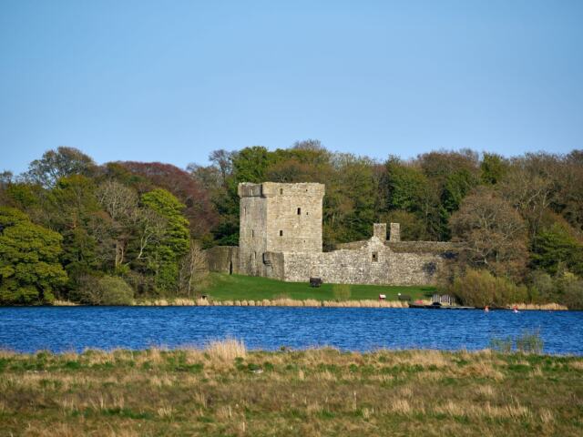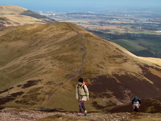
Quick answer: The Benarty Hill walk is a steep, rough climb taking 1 to 1.5 hours on the standard route or 2 hours on the Mulla Craig circuit, from limited roadside parking near Ballingry.
This guide ties the start, the parking and the Mulla Craig detour into one walk. For other days out, browse more walking routes in Fife.
Choosing your route
Benarty Hill reaches 356 m and is the fifth highest hill in Fife. Your choice comes down to a few practical questions.
- Time available: the standard route is the quicker option, and the circuit that includes Mulla Craig takes noticeably longer.
- Appetite for rough ground: the Mulla Craig section follows rougher paths along the escarpment edge, so it suits walkers who are comfortable off the main track.
- Starting point: parking on the hill road is tight, so walkers without a car, or who arrive to find it full, can begin from Ballingry instead.
| Route | Distance | Time | Ascent | Planning use |
|---|---|---|---|---|
| Standard route | 4.9 km / 3 miles | 1 to 1.5 hours | 188 m | Best for a short outing, or when daylight or energy is limited. |
| Anticlockwise circuit including Mulla Craig | 6 km / 4 mi | 2 hours | 270 m | Best when you want the hill, Castle Craig and Mulla Craig in one loop. |
Figures come from the Walkhighlands route description and the anticlockwise circuit write-up.
Longer days are possible too. A Ramblers group walk combining Benarty Hill with Loch Leven and Navitie Hill is a circular route of 11.3 km / 7.0 mi with 200 m of ascent. Ascent figures differ between write-ups because the routes differ, so compare like with like before judging how hard a day will be.
Parking and the start
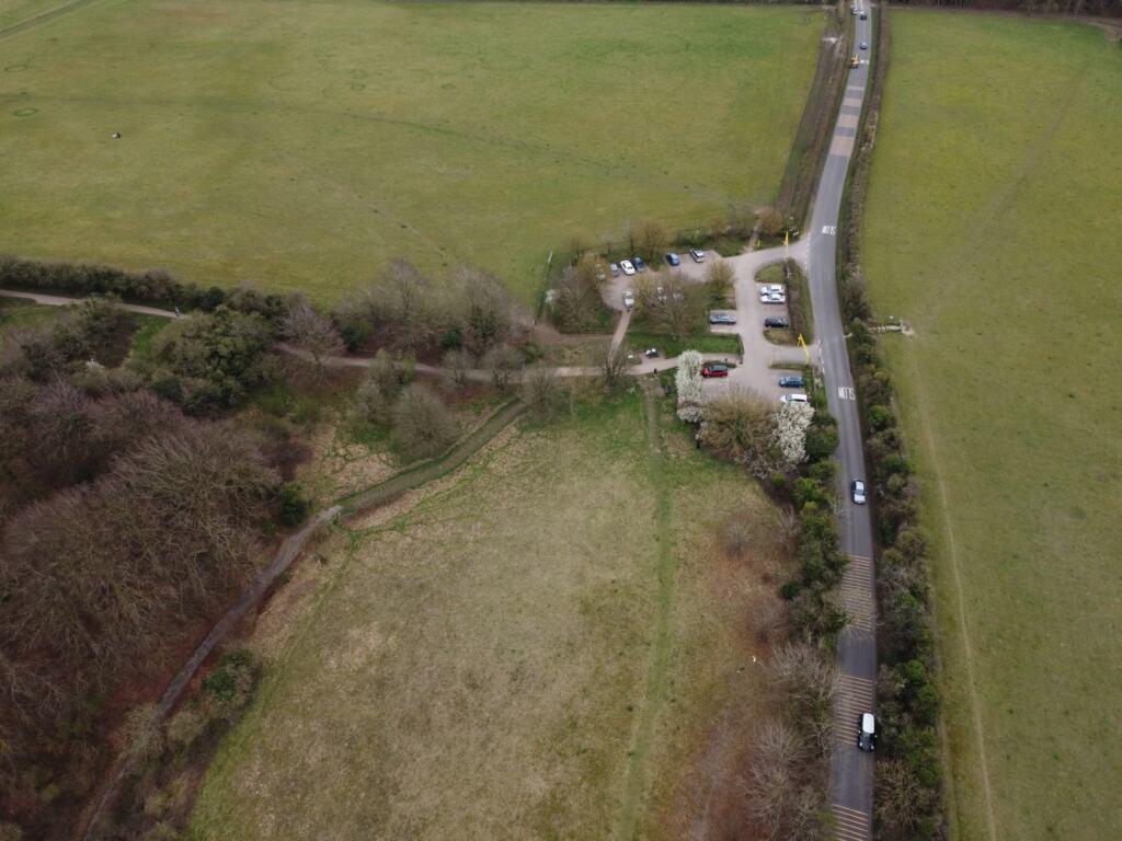
There is no large car park at the foot of the hill, so plan on roadside spaces and arrive early. Fife Walking places a small amount of parking on the hill road at grid reference NT 15869 96969. Walkhighlands gives the start as NT159969 and describes limited parking for a couple of cars, with some more nearby.
A circuit write-up quotes an Ordnance Survey grid reference of NT 159970 and mentions a layby, or more space further along the road. It adds that you should not block gates or tracks. All three references describe the same minor-road start, so enter whichever suits your map app.
The path begins at the parking area. Forestry and Land Scotland describes the trails beginning with a set of steep steps, so you start climbing almost immediately.
Starting from Ballingry
Yes, you can start the walk from Ballingry. Walkhighlands notes that the route can be reached by off-road paths from Ballingry over a distance of 2 km. The circuit write-up places its start and finish on a minor road 0.5 mi west of Ballingry, so the village sits close to the usual start.
There is also an eastern option. Fife Walking says it is possible to start from the foot of the forestry track further east, towards Ballingry. That is useful if the hill-road spaces are taken, because it moves your start away from the tight roadside parking.
Walking in from the village adds an approach to the day, so allow extra time beyond the route figures in the table above. It is also the most sensible choice if you are arriving by public transport.
The climb and the terrain
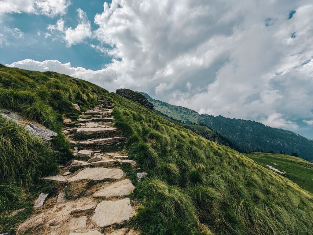
Expect a hard, sustained climb rather than a gentle stroll. Forestry and Land Scotland calls it a steep, rough climb up through the trees to the heathery ridge of Benarty Hill, and says there are about 4 miles of trails through the wood. Fife Walking warns that the steps can be hard work, so go steadily at the start and save your breath for the upper slopes.
How muddy is it?
Walkhighlands rates the route at bog factor 4 out of 5 while describing the terrain as good forest and moorland paths. The Ramblers listing likewise says muddy terrain is possible on Benarty Hill, though tracks and paths are otherwise good, with some steep sections. In practice that means a solid path underfoot but wet patches on the moorland, so wear footwear that you do not mind getting muddy.
The Mulla Craig detour
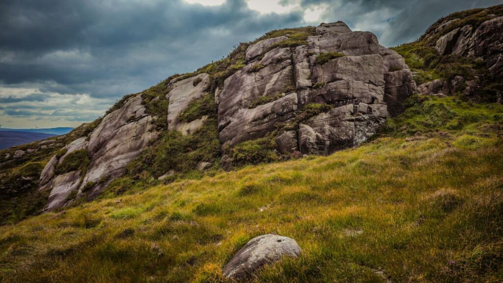
Mulla Craig, also written Mulla Crag, lies west of the main summit and is reached by the roughest part of the walk. The circuit write-up describes rougher paths tracing the edge of the escarpment to Mulla Crag further west, before returning through farmland. Keep the escarpment edge on your left-hand side of travel only if the path itself leads you that way; follow the worn path rather than cutting across heather.
Finding it on the circuit
The anticlockwise circuit visits the features in a fixed order, which makes Mulla Craig easy to place:
- Leave the start and climb through Benarty Wood.
- Reach the ridge and Benarty Hill itself.
- Continue to Castle Craig.
- Follow the rougher escarpment paths west to Mulla Craig.
- Return through farmland and rejoin the road.
If you reach Castle Craig, Mulla Craig is the next feature along the edge. Skip the detour if the weather is poor or if you want the shortest day, because it is the rougher section.
Summit ridge and conditions
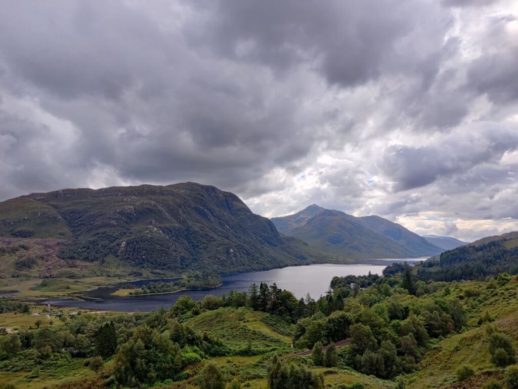
The ridge is the reward for the climb. Benarty Hill is classed as a sub-2000 Marilyn at 356 m, and the heathery top gives open ground after the forest. Conditions can change what you see from it. On a recorded September 2020 outing the temperature was 5°C with sunshine above low-level fog, so a grey valley does not rule out a clear ridge.
Troubleshooting on the day
- Low visibility: carry the paper map, which is OS Explorer 367 – Dunfermline, and check it before you commit to the Mulla Craig edge paths.
- Legs tiring on the climb: the standard route is the lower-effort choice, with less ascent than the circuit, so pick it from the start if you are unsure.
- Parking full: do not squeeze into gateways. Move to the Ballingry or eastern forestry-track start instead.
For a very different Fife day, the fife coastal path offers shoreline walking, while the lomond hills walks give you more upland ground nearby.
Frequently asked questions
Is Benarty Hill one of the highest hills in Fife?
It is the fifth highest hill in Fife, at 356 m, according to Fife Walking.
Which map covers the walk?
Walkhighlands lists OS Explorer 367 – Dunfermline as the paper map for the route.
Can I reach the start by bus?
The circuit notes list a bus to Ballingry, with the start on a minor road 0.5 mi west of the village.
Will I meet livestock?
Sheep and cows were recorded on the descent during a September 2020 walk, where the route returns through farmland.