The Fife Coastal Path runs around 117 miles (188 km) from Kincardine to Newburgh, according to the Fife Coast and Countryside Trust; Scotland’s Great Trails advises allowing ten days for the whole route.
If you are torn between committing to the full route and picking one stretch, decide by the sections below: some are short half-days with easy transport, others are long, rough or remote. For other options across the region, see our guide to walking routes in Fife.
Real distance and how many days to allow
Plan on the trust’s figure of around 117 miles (188 km) for the full Fife Coastal Path. Other published figures differ slightly: Scotland’s Great Trails gives 187 km over 8-10 days, and Walkhighlands says the route runs for over 183 km.
Treat the spread as normal for a coastal route rather than a problem. Scotland’s Great Trails also notes the original bridge-to-bridge route was only 81 miles/131 km, so check which version of the route a quoted figure describes.
The same source says the route can be walked in 8-10 sections that vary in length, gradient and going underfoot. That variation matters more than the headline mileage. A fit walker with ten days has room to shorten the hardest days, while someone with fewer days is better off choosing a few sections than rushing the whole thing.
Where it starts and finishes
The path starts in Kincardine in West Fife and ends in Newburgh in North Fife, as the trust describes it. Scotland’s Great Trails lists the start as Kincardine-on-Forth and the finish as Newburgh.
The route begins on the Firth of Forth and ends on the Firth of Tay, and the preferred direction of travel is from Kincardine. Walking that way puts the Forth shoreline first and leaves the quieter North Fife finish for the end of the trip, when your plans for the final days are already settled.
Choosing day walks by section
The best day walks are the shorter sections that start and end at a station or village, because you can finish without needing a second day of logistics. The table uses Walkhighlands’ stage breakdown to show which stretches suit a day and which demand a long one.
| Section | Length | Typical time | Planning use |
|---|---|---|---|
| Kincardine to North Queensferry | 27 km | 6-8 hours | A full day at the Forth end of the route; the Kincardine to Kirkcaldy stretch has mainline rail. |
| Burntisland to East Wemyss | 19 km | 4.5-5.5 hours | A moderate day that starts at a station town. |
| St Monans to Anstruther | 5.75 km | 1.5-2 hours | The shortest stage here, suited to a relaxed half-day or an add-on. |
| Crail to Kingsbarns | 9.5 km | 3-3.5 hours | A comfortable half-day; note the Crail to St Andrews stretch is rougher. |
| St Andrews to Newport on Tay | 29 km | 6-8 hours | A long day; start early and book onward travel in advance. |
| Newport-on-Tay to Newburgh | 28.5 km | 7-8 hours | The longest-feeling finish, with a remote final stage. |
Section lengths and times are taken from the Walkhighlands Fife Coastal Path guide.
Use these decision rules to pick a stretch:
- Short on time: choose St Monans to Anstruther or Crail to Kingsbarns, which are the two shortest in the table and fit a morning or afternoon.
- Wanting a solid day without a long trek: Burntisland to East Wemyss sits in the middle, and Burntisland has a rail station for getting there.
- Confident with long days: the Forth-end section from Kincardine and the St Andrews to Newport stretch are the big days, so leave them for when you have a full day of daylight and some stamina.
- Want to avoid rough going: skip Crail to St Andrews and Balmerino to Newburgh as a first outing, as Walkhighlands flags both as rougher.
If you would rather swap the shore for an inland hill day, the benarty hill walk is a separate route in Fife.
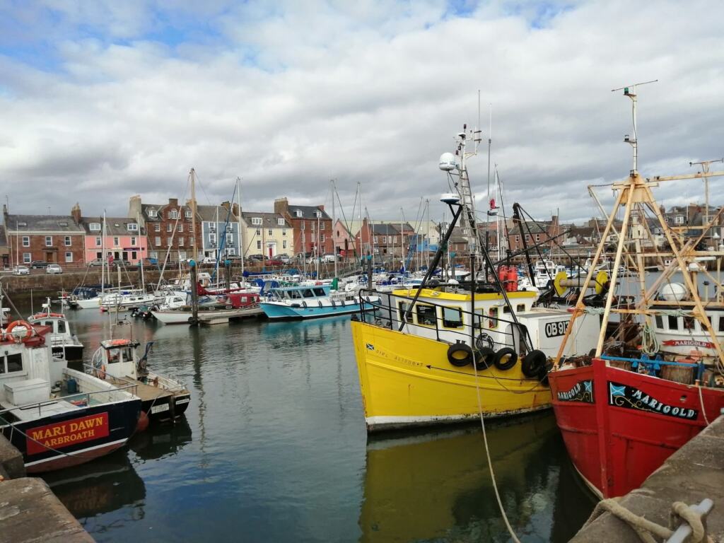
Public transport along the route
Fife is very well served by trains, express coaches and local buses, according to the trust, which makes linear day walks practical without a car. Scotland’s Great Trails says the stretch from Kincardine to Newport-on-Tay is well served, and the section between Kincardine and Kirkcaldy is on the mainline railway.
Walkhighlands lists rail stations at North Queensferry, Inverkeithing, Aberdour, Burntisland, Kinghorn, Kirkcaldy and Leven, with Leuchars later in the route. Services are fairly frequent along most of the coast, but the final stage through the North Fife hills is comparatively remote. If you finish at Newburgh, check your return transport before you set off rather than at the end of a long day.
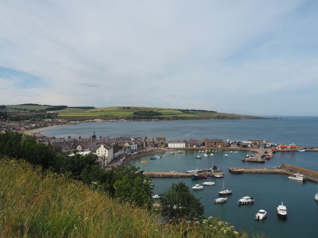
Where to stay
Accommodation is plentiful in all locations except the section from Balmerino to Newburgh, according to Scotland’s Great Trails, which also advises booking early. That makes the last day or two the pinch point of any multi-day plan.
Work back from the end of the route: secure the beds near Newburgh first, then fit the earlier nights around them. Because the final stage is the remote one, a late booking there leaves you with the least flexibility.
Maps, GPX and navigation
The trust sells an official map and guidebook through its online shop, which is the first thing to buy if you plan more than a single day. Its route page, linked above, is where to look first for the current official products.
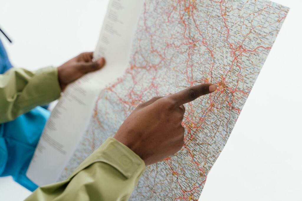
The interactive route map on Scotland’s Great Trails carries a mapping overlay courtesy of Rucksack Readers. If you prefer a GPX track for a phone or watch, look for a download on the trust’s shop or route pages, and carry a paper map as a backup, since batteries and signal both fail on a long coastal day. An Ordnance Survey sheet covering your section is a sensible addition for working out escape routes and distances.

Tides, mud and terrain
Some sections of the path are only available at low tide, according to Scotland’s Great Trails, so check local tide times before committing to a shoreline stretch. That is the one issue worth planning around in advance, because a wrong guess can force a detour or a wait.
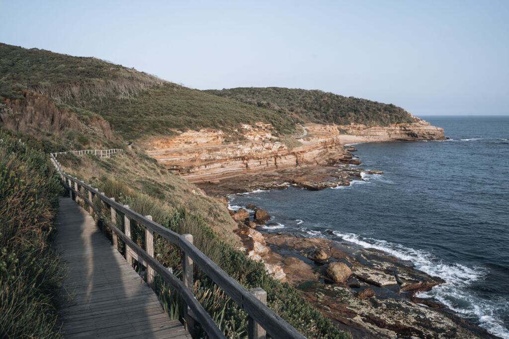
Walkhighlands notes that some sections can be muddy underfoot, and that Crail to St Andrews and Balmerino to Newburgh are the rougher stretches. Wear footwear with grip, and allow extra time on those sections rather than relying on the typical times in the table above.
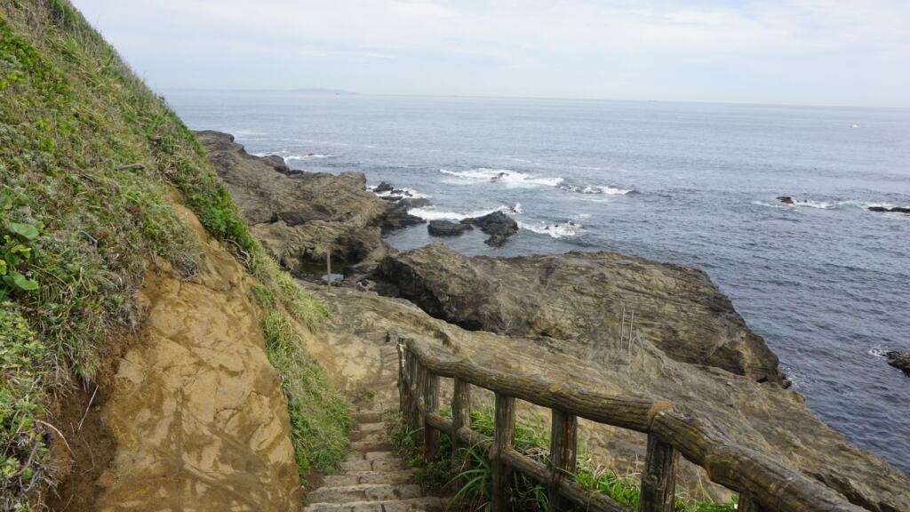
Near golf courses, keep to the path and avoid greens and fairways. The trust points out that Scotland enjoys some of the best access rights in the world, and the Scottish Outdoor Access Code is the framework for using them responsibly, so the same courtesy applies wherever the path crosses shared land.
Frequently asked questions
| Question | Answer |
|---|---|
| Is winter a good time to walk it? | Hillwalk Tours puts winter temperatures at 2-6°C and recommends only very experienced hikers take on the route then, so most walkers are better off choosing a milder season. See its Fife Coastal Path guide. |
| Do I need map-and-compass skills? | Not essential. Scotland’s Great Trails says the route is clearly and consistently waymarked throughout, so a paper map is a backup rather than a necessity. |
| What does the printed guidebook cost? | The Rucksack Readers guide is listed as a second edition from 2024 at £15.99 on Scotland’s Great Trails. |
| Can I wild camp along the route? | Wild camping is legally allowed in Scotland if practised responsibly under the Scottish Outdoor Access Code, according to the same page, which makes it an option where beds are scarce. |