Quick answer: Compare the Met Office and MWIS forecasts for your hill area, read cloud base, freezing level and wind together, and let conditions on the day overrule both. Any mountain weather forecast Scotland offers is a planning tool.
MWIS is the Mountain Weather Information Service. This guide sits within our Scotland outdoors coverage; for where you may walk, see Scotland outdoor access rights. For kit, navigation and decision-making beyond the weather, read our guide to hill walking safety scotland.
Where to get a mountain forecast for the Scottish Highlands
Two services are written for walkers and mountaineers: the Met Office mountain forecast and the Mountain Weather Information Service. Use both for the same day. Where they agree you can plan with more confidence, and where they differ you have found the uncertainty.
The Met Office says it provides forecasts for a selection of the main hill and mountain areas in the UK. Its hazard table lists these Scottish regions: Northwest Highlands, North Grampian, South Grampian and Southeast Highlands, and Southwest Highlands. MWIS publishes its own Scottish areas: Northwest Highlands, West Highlands, Cairngorms NP and Monadhliath, Southeastern Highlands and Southern Uplands. The area names do not line up one for one, so match your hill to the area by name and map position before you read the numbers.
| Forecast service | Scottish areas covered | Timing | Planning use |
|---|---|---|---|
| Met Office mountain forecast | Northwest Highlands; North Grampian; South Grampian and Southeast Highlands; Southwest Highlands | Issued each afternoon before 6pm and updated in the early hours before 6am | Read it the evening before to choose a route. Recheck the morning update before you leave the car. |
| Mountain Weather Information Service (MWIS) | Northwest Highlands (NW); West Highlands (WH); Cairngorms NP and Monadhliath (EH); Southeastern Highlands (SH); Southern Uplands (SU) | Check the MWIS area page for the current forecast before setting out | Use it as the second opinion. Its area codes make it quick to find your hill group. |
Area lists and timings come from the Met Office mountain forecast page and the MWIS area map.
One practical point on MWIS: a Scottish walking-information site describes its forecasts as clear and hiker-focused, giving wind chill and visibility among other measures. Those are the two figures many walkers overlook when they check only rain and temperature.
Reading cloud base and freezing level
Cloud base is the height, in metres, at which cloud begins. Freezing level is the height, in metres, above which the air is at or below freezing. Compare each number with the height of your summit and the high points on your route, not with the weather symbol on a phone screen.
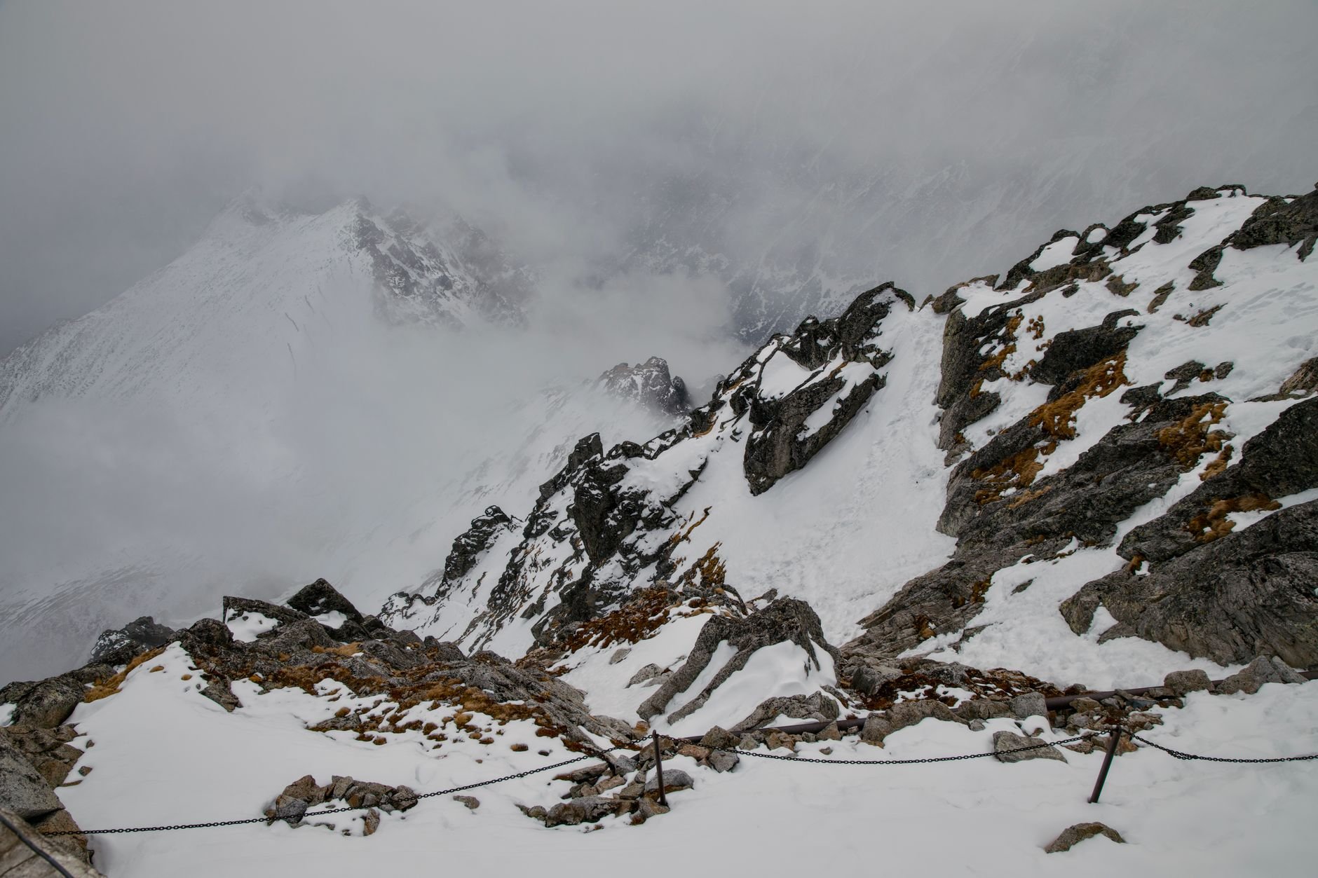
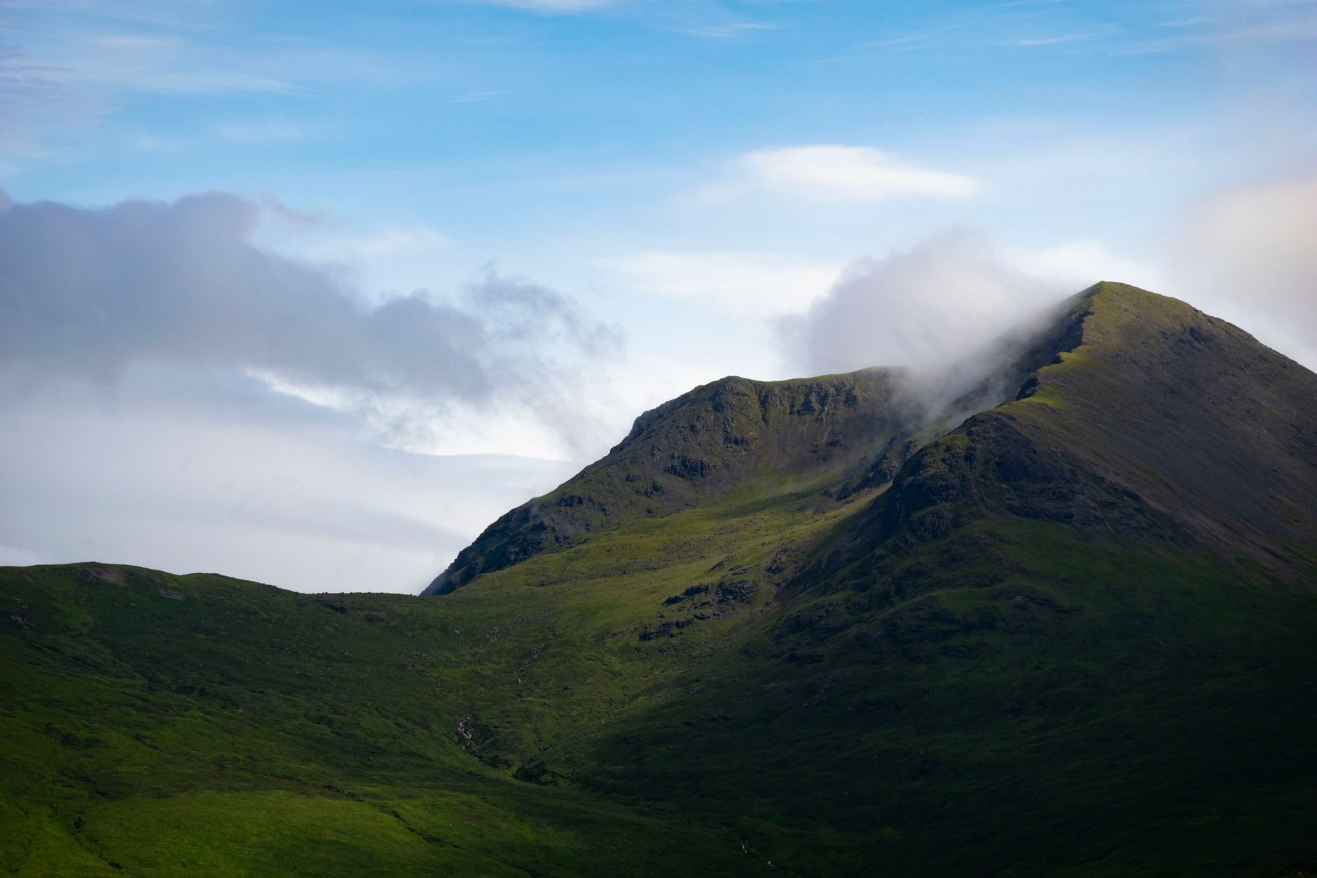
A worked example from a height-specific forecast shows how. For Ben Lawers, a 1204 m peak that mountain-forecast.com lists in the Grampians, the first forecast period (Tuesday morning) gave a cloud base of 350 m and a freezing level of 1150 m, with winds of 85 km/h from the WSW.
| Forecast term | Ben Lawers value, Tuesday morning | Planning use |
|---|---|---|
| Summit height | 1204 m | The reference point for every other number in the table. |
| Cloud base | 350 m | Far below the summit, so the whole upper hill is in cloud. Plan for compass and map navigation and slow progress, and avoid routes that rely on spotting features from a distance. |
| Freezing level | 1150 m | Just below the summit height. Expect freezing conditions at the top and wet, cold ground and rock on the way up. |
| Wind speed and direction | 85 km/h from the WSW | Stormy. Choose a sheltered route, a lower objective or another day, and note the direction so you know which slopes and ridges take the full force. |
These figures are taken from the Ben Lawers 1204 m forecast and are an illustration of how to read the terms, not a forecast for your day.
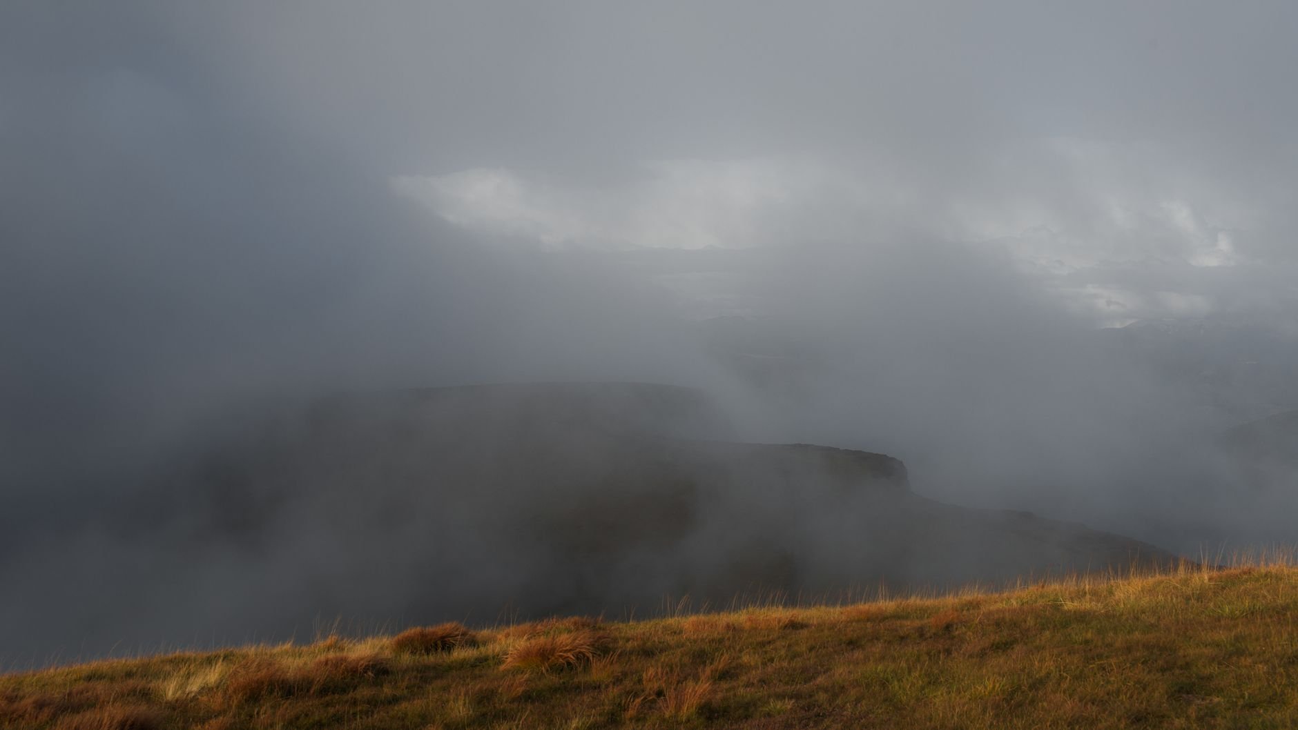
When the cloud base sits below the highest ground on your route, treat it as a navigation problem first and a weather problem second. Our hill walking safety scotland guide covers the skills that matter once the view disappears.
Wind and wind chill on exposed ground
Wind chill is how cold the air feels on exposed skin once wind is added to the air temperature. For hill walkers it is usually a more useful number than the temperature alone, because the wind speed at height is often much higher than in the glen.
The Ben Lawers example shows why. The forecast pairs a freezing level just below the summit with stormy winds from the WSW on Tuesday morning, decreasing later. The forecaster expects the wind to ease, but the early period is the one that matters if you plan a dawn start. Look for the hours when the wind is strongest and ask whether your route puts you on the highest ground during them.
- Check wind and temperature together. A forecast that looks mild at valley level can be a very different proposition on a high ridge once the wind is added.
- Use wind direction to pick the route. A westerly or south-westerly such as the one in the Ben Lawers example loads windward slopes and exposed tops, so a sheltered ascent or an east-facing descent can make the day manageable.
- Plan the turning point in advance. Decide on the ground, before you start, where you will turn back if the wind is stronger than forecast.
How much the weather changes with altitude
The change can be dramatic, and it is not the same on neighbouring hills. The Met Office describes mountains as places that can show a dramatic variation in weather conditions, hour to hour and hill to hill.
For route planning, that has two consequences. First, a forecast written for a whole area describes typical high-ground conditions, not your particular corrie or ridge. Second, a single peak can need several forecasts. The mountain-forecast.com page for Ben Lawers offers distinct forecasts for several elevations of the same hill, with the 1204 m summit shown in the table above. Comparing the summit forecast with a lower-elevation one shows where the cloud, freezing line and wind begin to bite on your way up.
If the forecast shows a clear gap between a low cloud base and the summit, the lower half of your route may be fine while the top is not. That makes a lower objective, or a shorter day that stops below the cloud, a real option rather than a failure.
Making the go or no-go decision
No forecast makes a day safe. The Met Office states plainly that mountains can be inhospitable and dangerous places for the ill prepared. The question to ask is whether your route, experience and kit suit the conditions forecast for the highest ground you will reach.
A decision sequence
- Find your area. Match your hill to the Met Office and MWIS areas listed above.
- Read the two forecasts side by side. Note wind speed and direction, cloud base, freezing level and visibility for the hours you will be on the hill.
- Compare the numbers with your route. Set cloud base and freezing level against your summit and ridge heights.
- Choose the route the weather allows. Pick a lower, more sheltered or shorter alternative if the high ground looks poor.
- Recheck in the morning. The Met Office updates its forecast in the early hours, so the evening forecast may have changed.
- Decide again on the hill. Be ready to turn back at the point you set in advance.
A freezing level at or below your highest ground is the signal to think about winter conditions, equipment and experience. Our guide to winter hill walking scotland picks up from there.
Troubleshooting mismatched or doubtful forecasts
- The two forecasts disagree. Plan for the harsher one on exposed ground, and choose a route with an easy escape if the milder one proves optimistic.
- The forecast looks fine but the hill looks wrong. A guiding company advises that your own observations of conditions on the day should always override even the most confident forecast. If cloud is lower, or wind stronger, than predicted, change the plan.
- Your hill sits between two areas. Read both neighbouring area forecasts and use the less favourable one for your highest ground.
- The summit forecast is poor but the glen is calm. Do not assume the calm persists with height. Consider a lower route, or wait for a day when cloud base and wind give you room.
Frequently asked questions
How far ahead does the Met Office mountain forecast go?
It covers an evening period, then the full 24 hours from midnight to midnight for the next two days, followed by a brief outlook for the following 3 days.
Can I rely on a short-term mountain forecast?
Treat it as a guide. A guiding company writes that even short-term mountain forecasts are unreliable, which is why observations on the day should win over the forecast.
Is mountain-forecast.com an official service?
No. The Met Office and MWIS are the walker-focused services in this guide. Mountain-forecast.com is useful as an extra check because it offers separate forecasts for several elevations of a peak such as Ben Lawers.