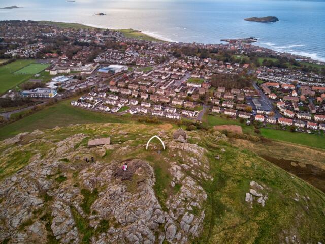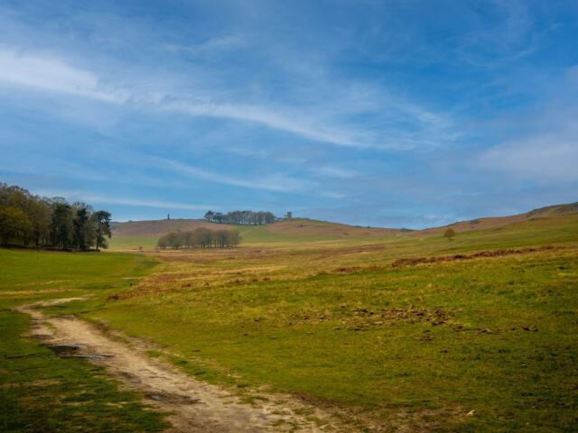
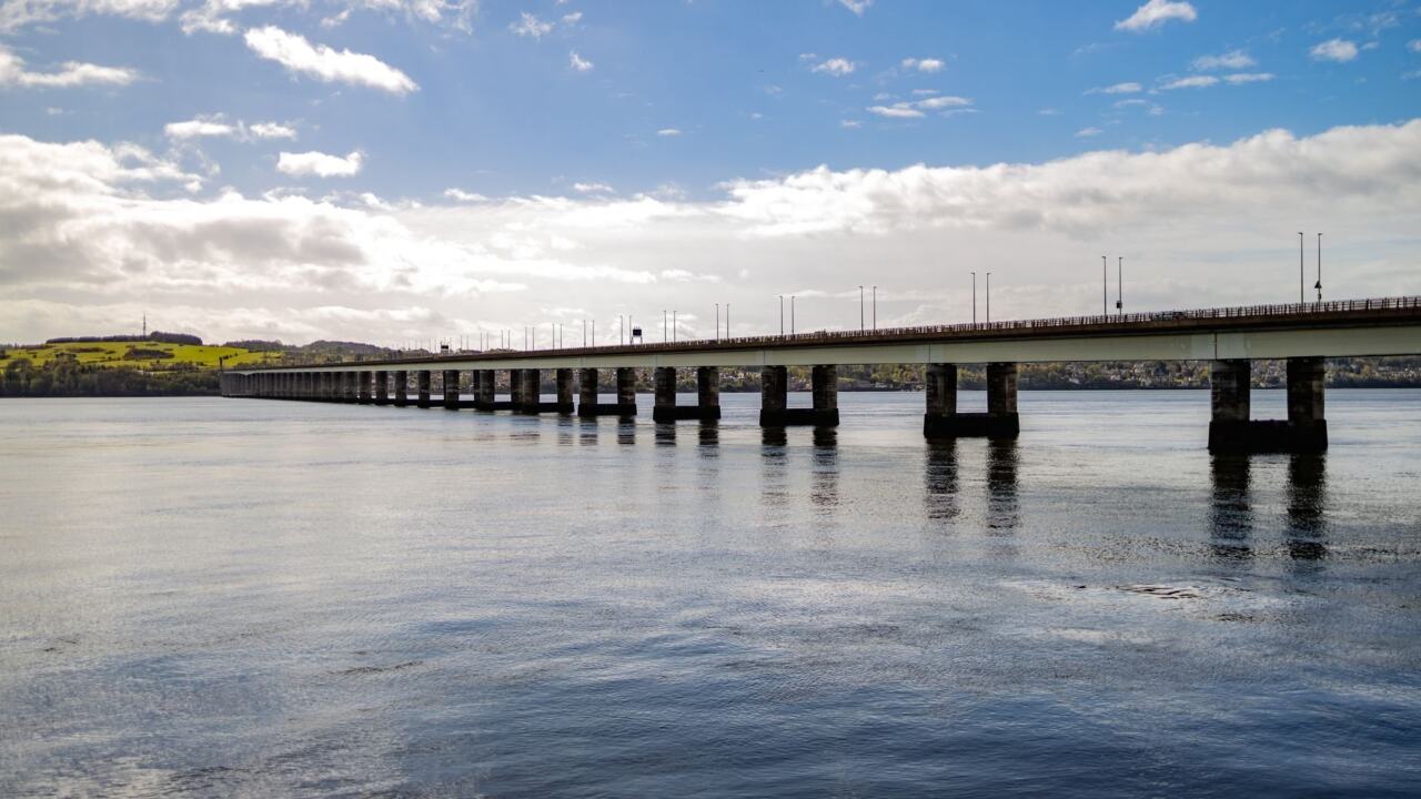
Tayport walks work best as a shoreline-and-woodland loop from the harbour, with Tentsmuir Forest as an optional extension. The full Fife Coastal Path stage through the town is 29 km (18 miles), so cut a shorter loop from it.
The usual problem is not finding a path but deciding how much of one to take. Tayport sits on the Firth of Tay, and its shore, heath and forest tracks can be combined in several ways. This guide groups the choices by the problems a walker is likely to meet, and it links to more walking routes in Fife for other days.
Choosing the right Tayport route for the day
The best walk in Tayport is a loop that mixes the harbour, the lighthouses on the shore, the heath and forest tracks, and a turn back into town. It gives views, shelter and a choice of exits, whatever the weather. The town has no single signed circuit in the evidence available, so the loop is a local combination built from the Fife Coastal Path rather than a numbered stage. The coastal path stage that passes through is Fife Coastal Path 10, St Andrews to Newport on Tay.
- Short on time or daylight: keep to the harbour, the shore and the lighthouses, then return the same way or through the streets.
- Want trees and a change of scene: add the heath and forestry tracks on the landward side of the shore.
- Want a longer day with wildlife: extend towards Tentsmuir Forest, and treat the return leg as part of your planning.
- Relying on public transport: a one-way walk along the coastal path becomes realistic, as covered in the FAQ below.
Whichever shape you choose, the walk starts best from the water, where the town’s character and the route’s logic are easiest to read.
Where to park and how to start
Parking in Tayport is mainly a matter of choosing which end of the walk you want to begin at. The coastal route passes a car park on the way to Tayport Links Caravan Park as it enters the town, which makes the western approach a natural place to leave a vehicle. Walkers coming from the Newport direction reach the Tay Bridge viewing area and car park by steps, a useful alternative if you want to join the path from that side.
For a Tentsmuir-focused day, the forest has its own main car park and picnic area. It lies about 1 km beyond a vehicle toll barrier, and it has seasonal toilets. That suits walkers who would rather start in the forest than walk in from the town, but it changes the route from a Tayport loop into a forest walk with Tayport as the optional extra. Details of the stage, including these car parks, come from the Walkhighlands stage description.
Harbour and lighthouse shoreline
The Tayport lighthouse walk is a shore section, not a separate hike. The coastal route reaches Tayport harbour by following Harbour Road through the housing until it ends at the harbour itself. From there the shore route passes the East and West Lighthouses, with the slender tower of the West Lighthouse standing further along.
This is the best section for views. Near Snook Head the coast opens out, with views across the Firth to Broughty Ferry. On the cycleway sections you also see Dundee, its tower blocks backed by Dundee Law. Because the outlook is so open, the shore suits a clear day; in poor visibility the lighthouses remain the main interest and the loop loses its best feature.
The woodland and heath stretch
The woodland and heath section is where the loop leaves the water. Along the coastal path the track soon reaches Tayport Heath, and the wider stage uses forestry tracks as well as cyclepath, pavements and sometimes muddy paths through fields. That mix is why the loop works in different weather: the town and shore are easy underfoot, while the tracks inland are where mud and shelter both occur.
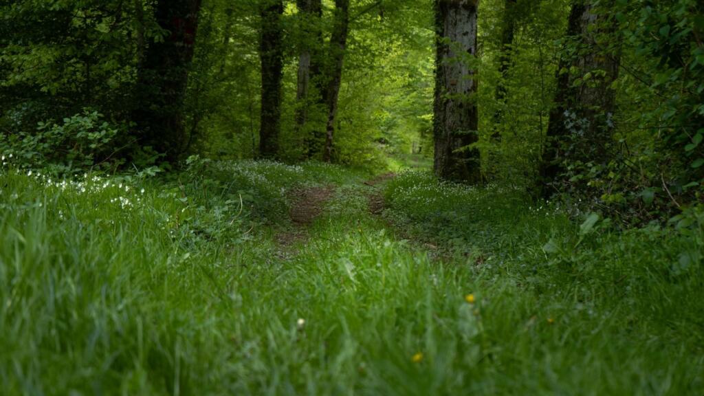
The stage carries a bog factor rating of 3 out of 5 on Walkhighlands, which is a reasonable prompt to wear waterproof boots instead of trainers after rain. Choose this inland leg when you want shade and a quieter walk, and stay on the shore when conditions underfoot are poor.
Extending the walk to Tentsmuir Forest
You can walk from Tayport to Tentsmuir Forest. The route passes through a kissing gate, joins a grassy track and is then followed into Tentsmuir Forest. That makes the forest a continuation of the coastal path rather than a separate trip.
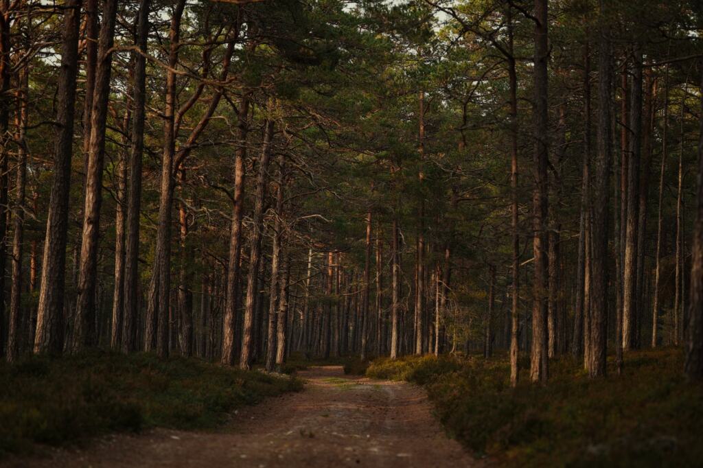
Once in the forest, several things justify the extra effort:
- Waymarked detour: the Seashell route, waymarked in blue, can be followed through the dunes as far as the 19th-century barrel-roofed ice house and back to the coastal path.
- Wildlife: the forest section offers the chance of seeing red squirrels, and grey seal pups can often be seen on the sand between October and December.
- History: Second World War anti-tank defences are visible on the coast, with a view over them to the Tay and Dundee beyond.
Decide before you leave Tayport whether the extension is a return walk or a one-way walk. Reaching the forest car park at the far end only helps if someone is collecting you or you have planned the way back. The extension suits a full day better than a short outing, and it is an easy section to leave out when daylight or energy is short.
How the loop relates to the Fife Coastal Path
The Tayport loop is built from part of the Fife Coastal Path, not a replacement for it. The full stage from St Andrews to Newport on Tay is listed at 29 km (18 miles), taking 6 to 8 hours with 90 m of ascent. The Tayport loop is therefore a fraction of that distance, and you decide how much by where you turn back.
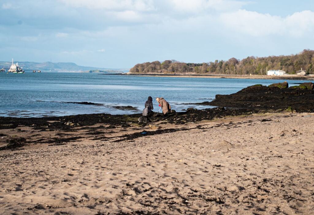
The stage is gentle in height gain, so effort comes from distance and mud rather than climbing. That is a good reason to keep the loop modest if you are walking with children or on a short winter day, and to extend only when conditions are dry.
Fixing common problems on the day
| Problem | Likely cause | What to do |
|---|---|---|
| Muddy or soft ground | Field paths and forestry tracks on the stage, with a bog factor of 3 out of 5 | Wear waterproof boots and shorten the loop to the shore and town streets after rain. |
| Unsure where the harbour route goes | The coastal route follows Harbour Road until it ends at the harbour | Start at the harbour and head along the shore towards the lighthouses. |
| Forest car park feels too far | The main Tentsmuir car park lies about 1 km beyond a vehicle toll barrier | Park in Tayport and walk in, or drive in only if you intend a forest-focused day. |
| Wildlife seen on the wrong dates | Grey seal pups are seen on the sand between October and December | Plan the Tentsmuir extension for that autumn window if seals are the aim. |
These conditions come from the Walkhighlands description of Fife Coastal Path 10, which describes the terrain, car parks and wildlife along the stage.
Other Fife walks to pair with Tayport
If the shore is not what you want, the lucklaw hill walk offers a different kind of Fife outing. The craighall den ceres route is another alternative when you would rather leave the Tay behind for a day. Both help vary a visit without repeating the same coastline.
Frequently asked questions
| Question | Answer |
|---|---|
| How long is the Tayport loop? | The loop has no fixed signed length. The surrounding Fife Coastal Path stage is 29 km (18 miles), so any loop is far shorter. Measure your chosen version on Ordnance Survey Explorer 371 (St Andrews) before you set off. |
| Where is the Tayport lighthouse walk? | It is on the Tayport shore section of the coastal route, reached from the harbour. The East and West Lighthouses lie along it, and the West Lighthouse is a slender tower further on. |
| Can I reach Tayport by bus? | Yes. Buses serve St Andrews, Leuchars, Tayport and Newport, so a one-way walk along this part of the coast can end at a bus stop in a neighbouring town. |