A dunbog hill walk is lightly documented: published loops start from different places and suggested routes are generally not waymarked. Carry an Ordnance Survey map, wear boots and choose your start before you leave home.
This guide sorts out the usual problems: which loop to follow, where to start, how to navigate and what the ground is like. It places the hill within the wider set of walking routes in Fife.
Choosing which Dunbog Hill loop to follow
Dunbog Hill is a named viewpoint that many routes in the Abdie and Dunbog area climb to, according to Komoot’s area guide. No single signed circular exists for it, so the first decision is where to start. Two published options matter here: a hiking loop from Newburgh in the same area listing, and a Cairnie Hill and Dunbog Hill loop that starts near Collessie.
| Route | Start | Distance | Ascent | Planning use |
|---|---|---|---|---|
| Hiking loop from Newburgh | Newburgh | 6.37 km, listed duration 01:43 | 90 m | Suits walkers staying in or travelling to Newburgh. Check on the map that the line reaches the summit before relying on it. |
| Cairnie Hill and Dunbog Hill loop | Near Collessie | 5.956 miles | 964 ft ascent, 921 ft descent (raw figures) | Suits walkers who want a route that names Dunbog Hill and adds Cairnie Hill. Plan transport to Collessie rather than Newburgh. |
Figures come from Komoot for the Newburgh loop and from Plotaroute for the Collessie loop.
Note that one route is given in kilometres and the other in miles and feet. Convert units before comparing them, and treat the ascent as a guide to effort rather than an exact target.
- Staying in Newburgh: choose the Newburgh loop and use a map to confirm where it crosses the hill.
- Wanting the hill named in the route title: the Cairnie Hill and Dunbog Hill loop is the clearer match, with the start near Collessie.
- Wanting a bigger day: the Norman’s Law summit loop from Luthrie, covered below, is a longer neighbouring hill walk.
Start point and parking
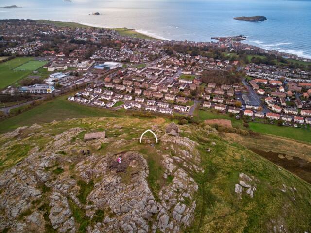
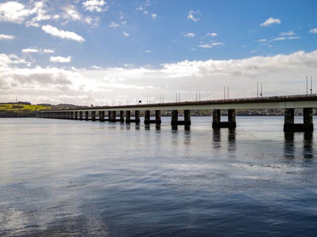
Newburgh is a town on the south bank of the Firth of Tay, and the Abdie and Dunbog area lies on the south shore of the firth in north-west Fife, as Komoot describes it. That makes the town a practical base for the Newburgh-start loop, since it can be reached on foot from the streets and waterfront without a car.
For the Collessie start, the route page names only the village as the starting area, with no specific car park. Plotaroute asks walkers to be considerate of local residents when parking and following routes. In practice, leave gateways, field entrances and passing places clear, and choose a spot that does not block the road.
Finding the way on a lightly documented loop
Route-finding is the main risk on this walk. Fife Walking states on Plotaroute that its suggested routes are generally not waymarked or signposted and may not follow an actual path. Its directions are not a substitute for an appropriate map, such as an Ordnance Survey map, which should be carried.
A downloaded GPS line is a useful second aid, but it is a recording, not a right of way. Use the Ordnance Survey map to check where the line follows tracks and paths, and where it crosses open ground or field edges.
Mark any fence lines and field boundaries on the map beforehand. On an unsigned route they are the most reliable features for confirming progress, and they show where a gate or stile is likely to be.
Mud, surfaces and footwear
Expect rough ground rather than a surfaced path. Fife Walking warns on Plotaroute that most of its routes use unsurfaced or rough paths that can be wet or muddy underfoot, and the Cairnie Hill and Dunbog Hill loop is listed with mixed terrain. Walking boots are recommended over trainers for most routes.
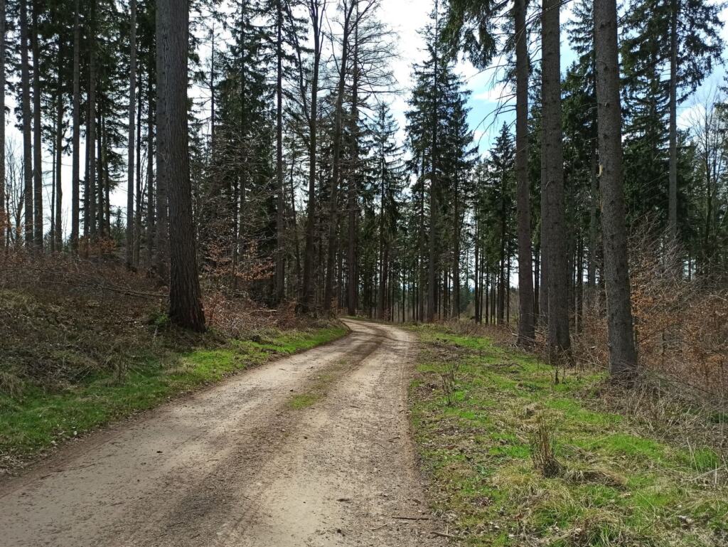
Boots matter most after wet weather, when field edges and rough tracks hold water. If the ground is saturated and the day is short, a surfaced alternative near Newburgh may be a better choice than pushing on over soft ground.
Access, gates and the Outdoor Access Code
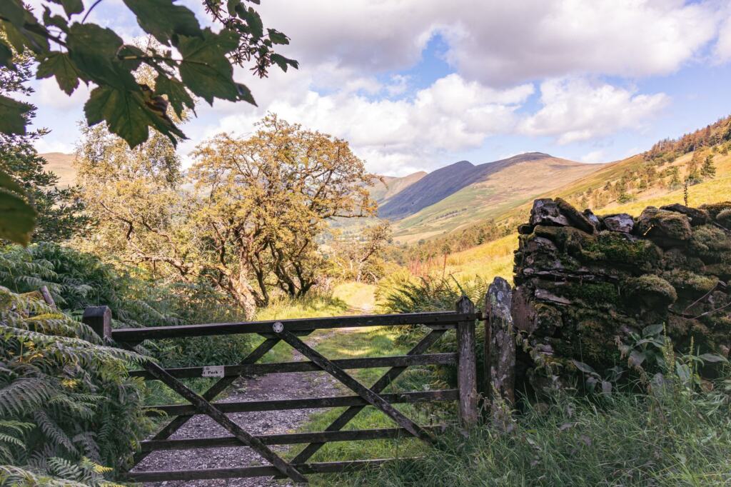
Walkers are responsible for acting in line with the Scottish Outdoor Access Code, as Plotaroute notes for Fife Walking routes. The same page asks walkers to observe all rights-of-way signs and warns that routes can cross private or hazardous land.
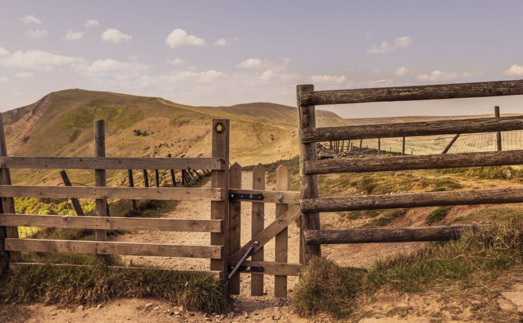
On a lightly documented loop this has a practical meaning. If a signed diversion, closure or notice conflicts with a recorded line, follow the sign and adjust the route on the map.
The view from the hill
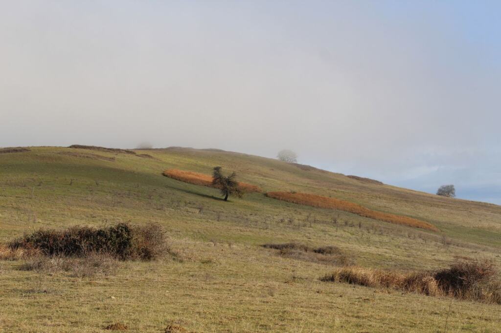
The reward for the effort is the outlook. Komoot lists Dunbog Hill alongside Norman’s Law as a viewpoint that area routes climb to, in country on the south shore of the Firth of Tay. The firth is the main landscape feature to look for from higher ground.
Other walks near Newburgh
Walkers looking for walks near Newburgh in Fife have several listed alternatives in the Komoot area guide:
- Lindores Abbey Distillery loop from Newburgh: 6.73 km, listed duration 01:46, 60 m ascent. This is the gentlest of the listed options by ascent.
- Lindores Loch loop from Lindores: 6.37 km, listed duration 01:46, 120 m ascent.
- Norman’s Law summit loop from Luthrie: 9.43 km, listed duration 02:46, 250 m ascent. This is the longest and steepest of the group.
For other Fife hill climbs, the largo law walk and the lucklaw hill walk guides cover the next hills to consider once the Newburgh area is done.
Frequently asked questions
| Question | Answer |
|---|---|
| How long is the Dunbog Hill circular? | It depends on the version. The Newburgh loop is listed at 6.37 km with 90 m of ascent, and the Collessie-start loop at 5.956 miles with 964 ft of ascent. |
| Is the Dunbog Hill route waymarked? | Generally not. Suggested Fife Walking routes are not waymarked or signposted, so a map and navigation are needed. |
| Is there parking nearby? | No specific car park is named for the Collessie start. Park considerately so that local residents are not inconvenienced. |